
Yorktown Neighbors and Block Sources
Yorktown public sources describe a block in layers. The Yorktown map layer shows approximate parcel geography. The Yorktown Assessor can confirm a property record or provide an abutter list for a property-notice purpose. Yorktown recorded deeds show title transactions. Yorktown Library and Museum material can give historic context. Yorktown does not publish a public roster of people who live around an address, and the voter tool is an individual verification service rather than a street-browse database.
| Block source | What it can show nearby | Access and limit |
|---|---|---|
| County Parcel Viewer | Approximate adjoining Yorktown parcels, address or print key, owner where available, and map layers | Public GIS; neither a survey nor an occupant list. |
| Yorktown Assessor | Property-card, ownership or sale confirmation, tax-map work, and abutter route | Request route; a contact field does not prove who lives there. |
| County Clerk deeds | Yorktown owner-to-owner transfer and legal-property description | WRO, Land Records counter, or County Archives; no household roster. |
| Planning or subdivision file | Yorktown lot arrangement, project applicant, SBL, maps, and dates | Project-specific material, not an occupancy source. |
| Voter tool | Election information for an identified matching registrant | No block output; voter data has an elections-purpose rule. |
| Community channels | Official contact, event, and volunteer paths | No verified public membership or resident directory. |
Start with the source that fits the actual Yorktown question. A Yorktown boundary question belongs with a map and Assessor. A Yorktown title question belongs with the County Clerk. A historic Yorktown street question may need Hart Library or the County Archives. Calling any displayed owner a Yorktown neighbor would overstate what the record proves.
Start a Yorktown Neighbor Search With Parcels
The Westchester County Municipal Tax Parcel Viewer directs users to select Yorktown, accept its disclaimer, and search Yorktown parcel data by address, print key, or owner name when that information is available. The viewer can print maps, export Yorktown query results, and generate mailing labels for a Yorktown abutters notice. Those functions are useful for locating geography and a lawful property-notice process. They do not establish which people receive mail or live in a home.
For a Yorktown map result, write down the displayed address, print key, and the role of any name shown. Then ask the Yorktown Assessor for property-card or ownership/sale confirmation if the matter requires an authoritative Town record. The viewer warns that lines are approximate, not a survey or definitive tax map, and that approved Yorktown tax maps are held by the local Assessor. That distinction matters before describing a Yorktown adjacent parcel as a neighbor’s property.
Note: Parcel adjacency means two mapped lots touch or lie nearby, not that the named owners know one another or reside there.
Map a Yorktown Block Step by Step
Use the Yorktown parcel viewer as an adjacency aid. Each step should preserve Yorktown map context without changing an owner, mailing contact, applicant, or entity into a claim about Yorktown neighbors. The process stops at the boundary of the records actually available.
- Keep the subject Yorktown street address and its Amawalk, Jefferson Valley, Mohegan Lake, Shrub Oak, or Yorktown Heights postal identity.
- Select Yorktown in the County viewer and search by address or print key, then click the result row to center the Yorktown parcel.
- Pan and zoom along the immediately visible Yorktown road segment, clicking adjoining polygons only to identify parcel geography and any displayed owner role.
- Record the SBL or print key for a particular Yorktown parcel, then use the Assessor’s property-card or abutter route if official confirmation is needed.
- Use a County Clerk deed only for that Yorktown parcel’s ownership sequence, checking the legal description before following an older transfer.
For a full named-street chain rather than the immediate block, the Yorktown streets reference keeps the address-record workflow in its proper scope. A map export is navigation evidence. A recorded deed and approved tax map are separate kinds of evidence.
Yorktown Layers That Change a Block
The Yorktown parcel viewer’s documented optional layers include zoning maps, flood plains, steep slopes, New York-regulated wetlands, land use, school and fire districts, sewer and water districts, drainage structures, and two-foot contours. These layers can explain why two Yorktown parcels on one road have different service areas or planning files. They can also help place a Yorktown subdivision map or a permit record in context.
They do not say who lives nearby. A Yorktown planning page may link a project address to an SBL and name an applicant or representative. A Yorktown building or code file can show construction work, a certificate, violation, or inspection record as held. Those are Yorktown property and project roles. They should never be converted into a household list or a claim that an applicant was a resident.
Yorktown Owners Are Not Always Neighbors
Yorktown owner data and residential presence are different categories. An owner may use a post-office box, an agent, an entity, or an address outside Yorktown. A parcel can also be held in a trust or corporation. Renters, adult household members, utility customers, delivery records, and unrecorded move dates do not appear in a public parcel result. A deed names transaction parties and may include legal description or return information, but it does not list everyone who lived at the site.
| Official record category | Commercial neighbor-tool category | Safe reading of a result |
|---|---|---|
| Assessor, Clerk, court, library, or election custodian record | Privately compiled people-search product | Official files identify a specific record role and access limit; compiled products may be stale or merge similar names. |
| Parcel, deed, or map evidence | Suggested household or proximity match | A parcel can support title or geography, not a conclusion about every resident. |
| Custodian correction route | Publisher opt-out or correction route | Use the office that owns an official record; do not treat a compiled result as proof. |
This comparison is especially useful for Yorktown because mailing city labels vary across the Town. A match that looks local may simply be a business, agent, or distant owner contact. Confirm the role and record date before relying on it.
Yorktown Voter Data Has Boundaries
The NYS Poll Site Search, Voter Registration and Mail Ballot Tracker asks for County, last name, first name, date of birth, and ZIP. It is an individual verification path that requires a JavaScript- and cookie-enabled browser. For Yorktown, choose Westchester and use the registrant’s own matching information. The Yorktown result does not create a browseable list of people on a block.
Election Law §3-103(5) limits use of voter-registration data to an elections purpose. Confidential voters are protected under Election Law §5-508, and the NYS Address Confidentiality Program uses a substitute address for eligible participants. The Town of Yorktown’s older 2014 street-range and polling-place table is useful only as historical address-and-ZIP context. It is not a current neighbor list, and ballot choices are not public.
Yorktown Community Contacts Without Rosters
Community sources provide a better way to connect with a neighborhood than trying to infer households from parcels. Yorktown’s official volunteer and community pages identify public channels for civic participation, service, worship, volunteer emergency organizations, Friends of Hart Library, and support groups. These Yorktown routes offer organization contacts, activities, and public participation. They do not publish a member or resident directory.
The Town’s Get Involved community-organizations page is the official source for those public contact routes.
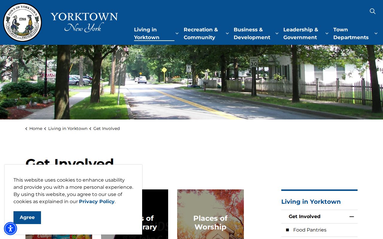
The Yorktown page offers a community layer after the parcel work is done: contact an organization through its public channel rather than collecting names from a block map. Yorktown’s research found no umbrella neighborhood-association directory or verified public HOA member directory.
Jefferson Village HOA
A Town Board record identifies an association president and describes Jefferson Village as a 55+ active adult community. The meeting record is not a membership directory.
Random Farms HOA
A February 2026 Town Board comment identifies the association as a 104-home community with shared amenities. That document shows association existence, not who lives there.
Town civic bodies
The Local History Advisory Committee, Heritage Preservation Commission, Open Space committee, and other boards are volunteer channels rather than neighborhood rosters.
Yorktown Postal Labels on One Block
A postal label is another block-search check, not a resident attribute. Town material identifies five Yorktown-area postal identities: Amawalk 10501, Jefferson Valley 10535, Mohegan Lake 10547, Shrub Oak 10588, and Yorktown Heights 10598. Keep the municipal place separate from the mailing place when saving a parcel query or contacting an official office. A record filed under Shrub Oak or Jefferson Valley may still concern a parcel in the Town of Yorktown.
The Town’s 2014 election-district street-range table makes the point clearly: its Horne Circle entries were associated with 10535, 10547, and 10588. That older document is context for address matching, not a current postal map and never a list of Yorktown neighbors. Use USPS for delivery verification, the County viewer for parcel context, and SBL or legal description for land records. Each answers a distinct location question.
Yorktown Planning records demonstrate the same address-translation practice. A 2025 Planning item paired 1966–1968 East Main Street in Mohegan Lake 10547 with Section 26.08, Block 1, Lot 68, while a Par 3 item paired 795 Route 6 in Shrub Oak 10588 with Section 16.07, Block 1, Lot 38. Those examples show why street, postal place, and SBL should remain separate fields. They identify a project location, not Yorktown neighbors.
Yorktown Neighbor Lookup Privacy Limits
Yorktown private data stays private even when a block is mapped. There is no general public path to renters, household members, utility accounts, DMV addresses, protected voter files, confidential Address Confidentiality Program addresses, adoption material, or sealed court records. A public link does not give permission to publish sensitive details, contact a person, or build a profile from multiple sources.
For a Yorktown property-notice task, use the Assessor’s published request route and identify the relevant parcel. For a correction question, contact the custodian that owns the record. For a threat or immediate safety concern, use emergency or law-enforcement channels, not a records portal. Property and community research should remain focused on civic information, personal safety awareness, and lawful contact routes.
Lawful use. Use a Yorktown neighbor lookup to understand a parcel, a block, or a public community contact path. Do not use record information to watch, stalk, harass, intimidate, or harm another person.