
Yorktown Street Directory Walkthrough
A useful Yorktown street search follows one Yorktown address trail in order. The Westchester County Municipal Tax Parcel Viewer is the first browser for a Yorktown street or parcel. Select Yorktown, accept the viewer notice, and search the street address, print key, or an owner name when it is available. Treat the result as a Yorktown map lead. The viewer says parcel lines are approximate and that the Yorktown Assessor keeps the authoritative tax maps. From there, a Yorktown assessment record or recorded deed can confirm a parcel role. A current owner is not automatically a current resident, and an address result is never a household roster.
- Enter the current Yorktown street address in the County viewer and record the displayed print key or SBL, the section, block, and lot identifier used in Yorktown property work.
- Ask the Yorktown Assessor for a property card or ownership and sale confirmation tied to that SBL.
- Use Westchester Records Online or the Land Records counter to locate the current Yorktown owner as grantee, then read the Yorktown deed reference and legal description.
- Work back through prior grantees only when the legal description, lot, or map reference matches. For an identified registrant, the Yorktown voter tool available through the state is an individual verification service, not a street browse.
- For an older household question, ask the Yorktown Hart Library about specific directory or phone-book holdings and compare a finding with maps, obituary material, or deed evidence.
That order keeps a Yorktown street directory grounded in records that are actually keyed to land. It also shows where the evidence changes from current parcel context to a dated ownership history.
Yorktown Street Parcel Viewer
The Municipal Tax Parcel Viewer has three documented Yorktown search paths: address, print key, and owner name where municipal data supplies it. After choosing Yorktown, use the result row to center the map, then pan or zoom along a Yorktown roadway. Additional layers include zoning, flood plains, wetlands, steep slopes, land use, school and fire districts, water and sewer features, and drainage information. They help explain the geographic setting of a Yorktown parcel. They do not establish a boundary survey, title, or occupancy.
| Viewer field | Input | Yorktown use | Limit |
|---|---|---|---|
| Municipality | Required dropdown | Select Yorktown before the Yorktown municipal map opens. | It does not set a postal ZIP. |
| Address | Optional text search | Locates Yorktown parcel data by street address. | Recheck a match with the Assessor. |
| Print Key | Optional text search | Bridges a map result to Yorktown property research. | It is not a deed reference by itself. |
| Owner Name | Optional candidate search | May identify a Yorktown parcel where ownership data are available. | A matching name does not prove residence. |
| Map tools | Print, export, layers | Preserve Yorktown location context and review nearby parcels. | An exported map is not title evidence. |
The viewer can also generate mailing labels for an abutters notice. That output serves a Yorktown property-notice function. It must not be republished as a list of Yorktown residents or used to infer personal relationships along a street.
Yorktown Street Records
Several Yorktown and Westchester offices hold address-keyed material, but each record answers a narrower question. The Yorktown Assessor has rolls, cards, physical inventory, and ownership or sale confirmation. County GIS supplies Yorktown map context. The County Clerk records deeds and mortgages, while the County Archives supplies older grantor and grantee indexes. Yorktown Building and Planning files may describe a project or location. None of these sources should be called a resident roster.
| Address record | Custodian | What it can establish | How to reach it |
|---|---|---|---|
| Parcel map and print key | County GIS and Yorktown Assessor | Approximate Yorktown parcel geography, layers, and available owner data. | Yorktown public viewer; Assessor verifies tax-map questions. |
| Assessment roll or property card | Yorktown Assessor | Yorktown assessment context, property inventory, ownership or sale confirmation. | Yorktown Assessor request route; allow its stated one to two business days. |
| Recorded instrument | Westchester County Clerk | Grantor, grantee, recording reference, and a Yorktown legal description. | Records Online or Land Records counter. |
| Historic deed index | Westchester County Archives | Earlier Yorktown ownership and mortgage research. | Grantor/grantee indexes, reading room, or mail research. |
| Building or Planning file | Yorktown Building or Planning | Yorktown project, permit, inspection, or site-plan context as held. | Specific Yorktown FOIL or research request route. |
For a current Yorktown land question, the Yorktown parcel viewer, Yorktown Assessor, and Yorktown deed index form the strongest chain. A Yorktown street name alone can vary by postal label or be repeated in a broader Westchester search. The SBL and legal description give the record trail a more exact anchor.
Note: Keep the source date and the recorded role, such as owner, grantor, grantee, or applicant, instead of rewriting every name as a resident.
Yorktown SBL and FOIL
Yorktown's records-request form makes the local address translation clear: property research must include the Section, Block and Lot. A street address is still helpful, but the SBL prevents confusion when a lot is split, merged, or described by a subdivision map. The Town of Yorktown Clerk receives FOIL requests for Town of Yorktown departments by online form, paper application, mail, fax, email, or counter delivery. Yorktown says it acknowledges a request within five days and gives departments up to 20 days to research and provide documents. Standard letter-size copies are listed at 25 cents, with larger maps or media potentially costing more.
The Town of Yorktown Clerk's published FOIL procedure shows the official request route used when a specific Yorktown street record is not available through an online search.
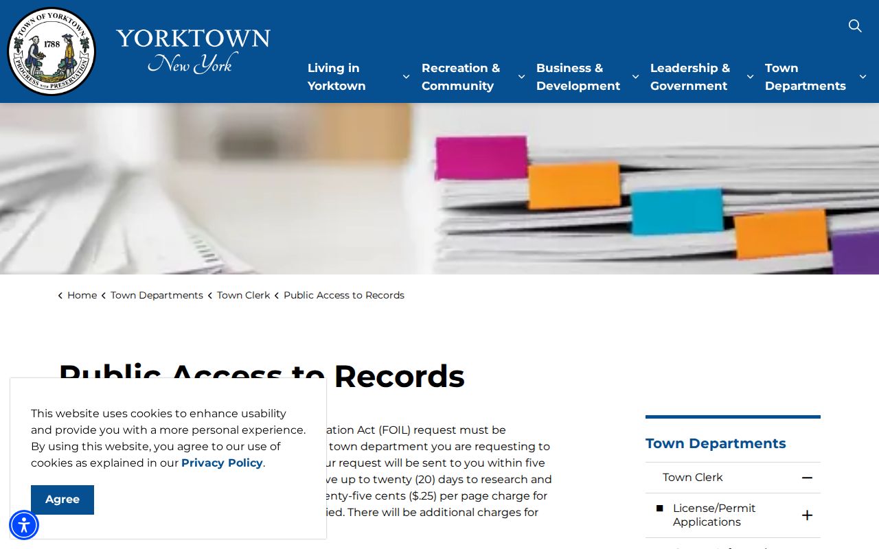
The Yorktown form and procedure work best when the request identifies the holding department and the SBL for property research, rather than asking the Town to create a new street-by-street resident list.
Yorktown Street Deed Chains
A recorded deed follows title, not daily occupancy. Start with the current Yorktown owner or verified Yorktown Assessor result, then look in Westchester Records Online for an instrument naming that owner as grantee. Record the grantor, grantee, document or book and page reference, recording date, and legal-description language. The prior seller can then be searched as grantee for the earlier purchase. Pause when the lot, SBL, filed map, or legal description stops matching. A trust, estate, entity, or foreclosure can make a title path branch without showing a household move.
The Westchester County Archives research service is the fallback for older or hard-to-reach material. It lists grantor and grantee deed indexes from 1680 through 1907, mortgagor indexes from 1680 through 1897, estate records from 1782 through 1909, and maps from about 1766 to the present. Archive staff list a $15 charge for a record already located in an online index, or $25 per hour for custom research, with the first ten pages included and additional copies at 50 cents per page.
That deep archive trail is a Yorktown records advantage, especially when the current street label does not appear in an older instrument. Use a filed map, lot description, and adjoining parcels before deciding that two similar addresses are the same place.
Yorktown Street Record Terms
Address records use different identifiers because mailing, mapping, and title work do not describe a property in the same way. Keeping each term separate helps avoid an overbroad street result.
- Parcel
- A tax-map unit used to organize assessment and map records. County viewer lines are approximate until checked with the Assessor's approved tax map.
- Situs address
- The physical Yorktown location of a parcel. It differs from an owner mailing address, which can be a post-office box, agent, or place outside Town.
- SBL
- Section, Block, and Lot, the Yorktown tax-map reference requested for property research through the Town.
- Plat or filed map
- A recorded map showing a subdivision or lot arrangement. It can bridge a current address to the legal description in a deed.
- Criss-cross directory
- A reverse directory arranged by address. No comprehensive Yorktown run was verified, so ask Hart Library about actual holdings rather than assuming one exists.
The John C. Hart Memorial Library local-history desk has obituary, newspaper, scrapbook, and genealogy resources. Its local collections can support a historical address question, yet the research found no complete Yorktown directory of all present or former people.
Yorktown Street Permit Records
Building and Planning records can add a date or project context to a Yorktown street search. Building issues permits, certificates of occupancy, violations, and condemnations. Planning files can pair a street address with an SBL, proposed use, maps, applicant names, and revision dates. The research identified examples where Planning material tied a Mohegan Lake East Main Street project and a Shrub Oak Route 6 project to particular section, block, and lot numbers. Those files establish land-use or application roles. They do not say who lived at either location.
Yorktown's current Building submission pattern uses Cloudpermit for applications, uploads, and status tracking. That is not a verified public historical-record search. For older material, direct the request to the relevant department through the Town's recorded procedure and describe the address, time period, and SBL. A narrow request is easier for a custodian to locate than a request for every record on a street.
Note: A permit can date construction or work, but it should never be used as a substitute for a recorded deed or a verified occupancy record.
Yorktown ZIPs on Streets
Yorktown streets may carry Amawalk, Jefferson Valley, Mohegan Lake, Shrub Oak, or Yorktown Heights postal labels. The Town's 2024 table identifies five ZIP identities within the Town. That makes the postal field a useful search term for a library, obituary, mail, or web search, but not a municipal boundary or proof of residence. The Town's 2014 election-district table is a historical example of the complexity: an inspected Horne Circle sequence appears with 10535, 10547, and 10588 entries.
Repeat a failed Yorktown address search under the documented hamlet label, then verify the parcel through the County viewer. For mail delivery, use USPS to test the precise address. For title work, return to the SBL and County Clerk record. The Yorktown ZIP code directory keeps that postal workflow separate from the street-by-street record chain.
Yorktown Voter Street Limits
New York's voter tool is not a Yorktown street directory. Its individual form requires Westchester County, last name, first name, date of birth, and a five-digit ZIP in a JavaScript and cookie-enabled browser. It can help an identified registrant check registration or poll information. It does not expose a lawful list of everyone on a street. A no-match may reflect data-entry differences, ZIP or county mismatch, eligibility status, or update timing rather than a conclusion about where someone lives.
Registration data obtained by request has its own Election Law section 3-103(5) restriction to an elections purpose. Confidential voter records are kept separately under section 5-508. The NYS voter lookup should therefore be used only for the individual service it offers, not to fill gaps in land records.
Yorktown Street Directory Boundaries
The Yorktown street directory cannot reveal renters, adult household members, utility customers, delivery lists, DMV addresses, protected voter information, or sealed court and adoption material. It cannot convert an approximate GIS line into a survey-quality boundary. An owner mailing address may be remote or administrative. A deed may identify an entity, trustee, or attorney. These are meaningful record roles, not evidence that a particular person resides at the parcel.
When a Town record is unavailable online, the documented fallback is the holding department, the Town Clerk's FOIL route, the County Clerk or Archives for land material, and Hart Library or the Museum for historical context. Stop when the evidence does not independently match.